
This post, and posts like it, is an attempt to make real-life geological phenomena more accessible to a rising generation of tech-savvy, gaming youth. Studies have shown that there is room in education for the use of virtually created worlds from video games to teach real-world geology and other scientific processes. One particular study of interest can be found here. I do own the rights to most of the images in this post, but the story and geology explained in this post comes from real-world phenomena and is not directly linked to actual Legend of Zelda lore. The characters, locations, and scenes come from the popular video game The Legend of Zelda: Breath of the Wild and I do not take credit for them. I hope you enjoy my creative scientific interpretations!
IMPORTANT: Throughout this post, words that are in italics are references to the Zelda Video Game. Words that are bolded are key science concepts to keep in mind.
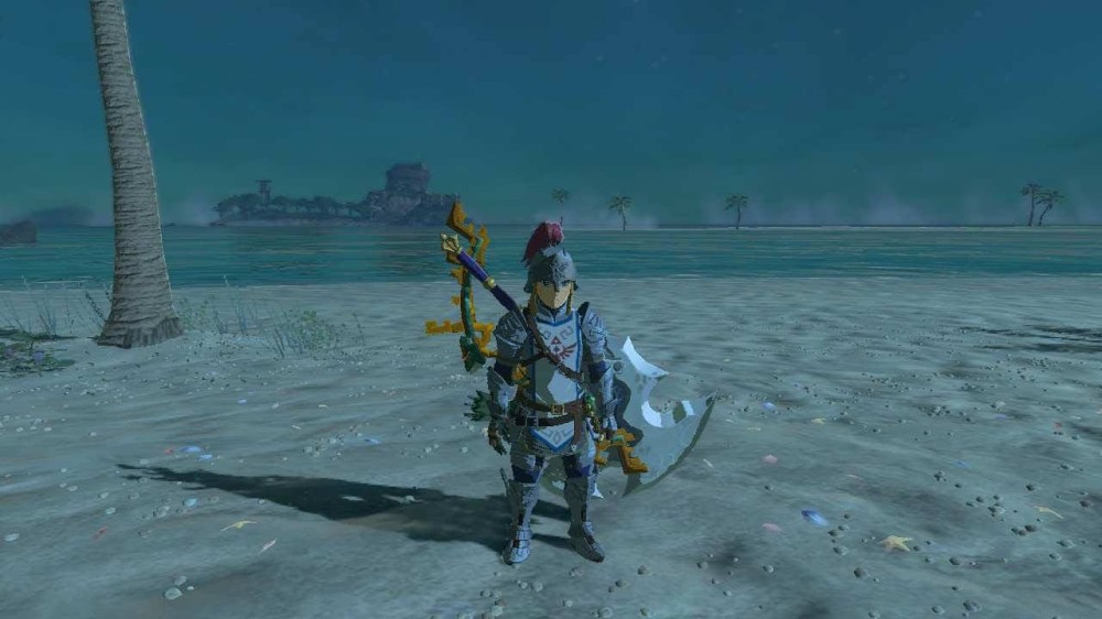
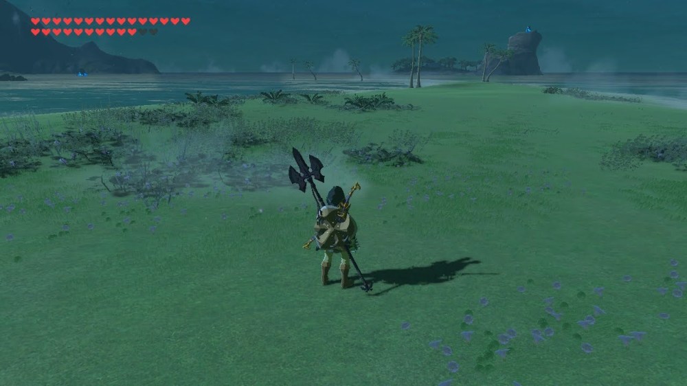
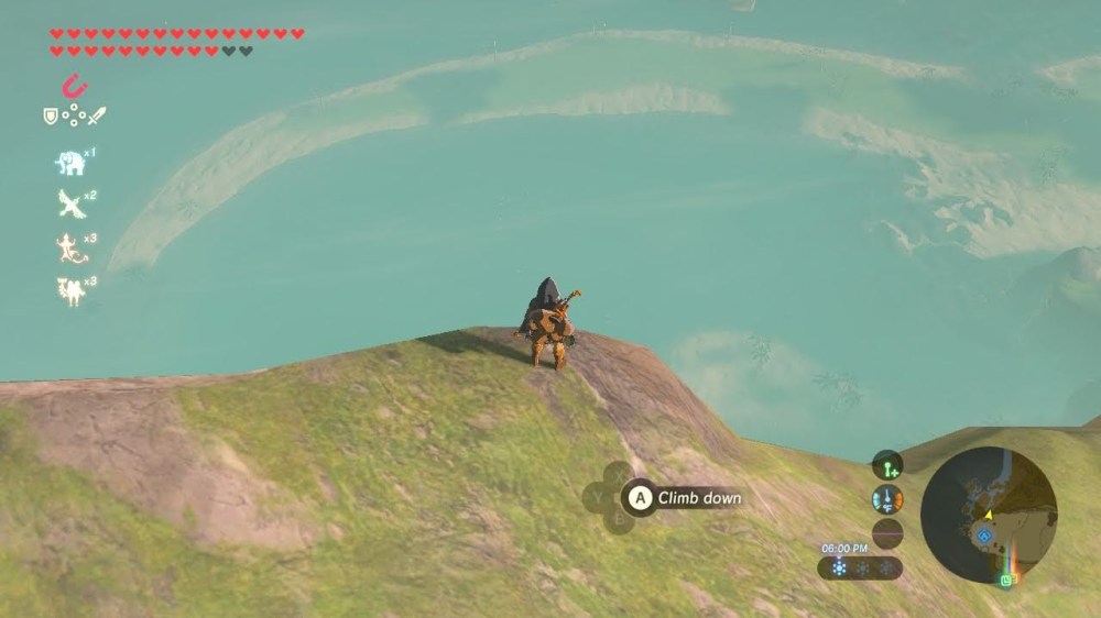
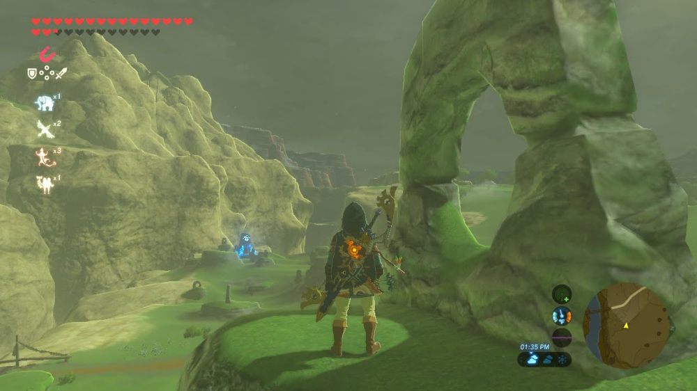
From the desert sandstone of the Gerudo Highlands to the volcanic rock of Death Mountain, Hyrule has some breathtaking geologic features. I’m Strade, your friendly travelling Goron Geologist and I will be your guide through this beautiful portion of Hyrule. Today, we are going to be exploring and solving the mysteries of a geological phenomenon–the beautiful Cape Cales and the surrounding beaches of the Necluda Sea. The formation of these landscapes is all centered around the movement of wind, water, and sediment. The amount of energy put into this movement, along with the direction of movement, can create the some beautiful features that are found along coastlines. So grab your fishing pole and paraglider, and we’ll unravel the geological phenomena of Cape Cales.
Before we Dive In
It is important to build a foundation of key geology concepts before gliding over the shear walls of the Cape Cales sea cliffs onto the sandy Palmorae beach below. So pull out your Purah Pad and keep these key concepts in mind as we explore the area:
- Sedimentary rock forming processes dominate the coastline geology. It is important to remember that processes such as weathering to break down rock into smaller sediment, erosion to carry that sediment to other places, and deposition, compaction, and burial of eroded sediment all lead to the formation of sandy beaches to rocky coastal cliffs.
- Energy in varying amounts is required to make all the features you will see today. Lots of energy in the form of tides and waves help to break down sediment into the fine sand we see on the beach. Smaller amounts of energy in the form of wind, water, and colliding plates to break down the large continental plate into boulder chunks to line the coast and smooth slabs of rock to rise above the coastline. Chemical potential energy from water and kinetic energy from wind takes a long time to weather and erode rock, but over time they can create significant changes to the landscape. This energy is typically controlled by weather, climate, gravity, and geothermal activity deep inside the earth.
- I use the terms ‘tides’ and ‘waves’ interchangeably in this article, however it is important to note there is a difference between the two. Tides are formed every second by the gravitational pull of the sun and the moon on the water. Waves are formed as wind blows across the surface of the water and is greatly impacted by weather and climate patterns.
I know that was already a lot to take in. Lucky for you I have grabbed some brain food for you, fresh palm fruit and ironshell crab harvested from the beach below. So take a break and just keep in mind sedimentary processes and varying amounts of energy as we explore Cape Cales!
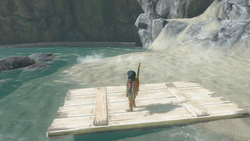
The Cape
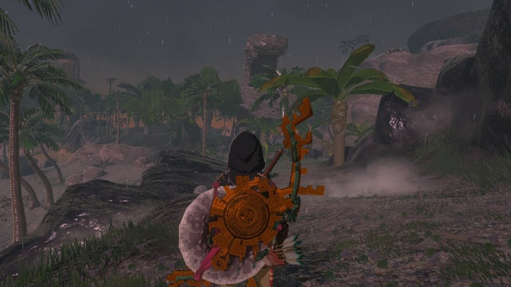
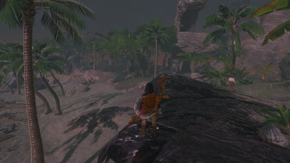
As always, let’s start by having you make some observations. You can make direct observations by following the map below and going directly to the site in your own Zelda: Tears of the Kingdom game. This method is preferred (and more fun). Or you can make indirect observations by clicking through the slideshow of images I have prepared for you below.

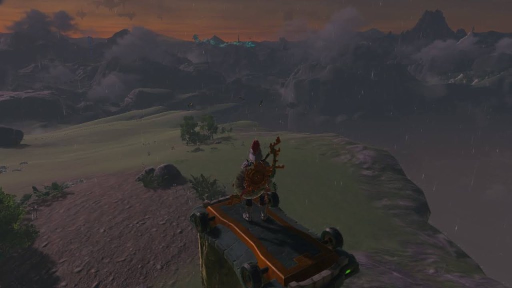
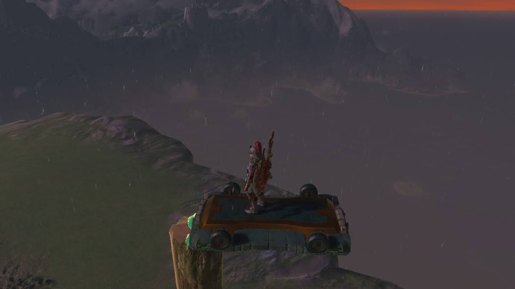
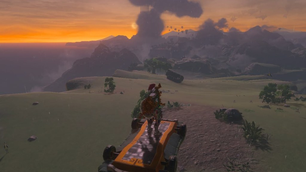


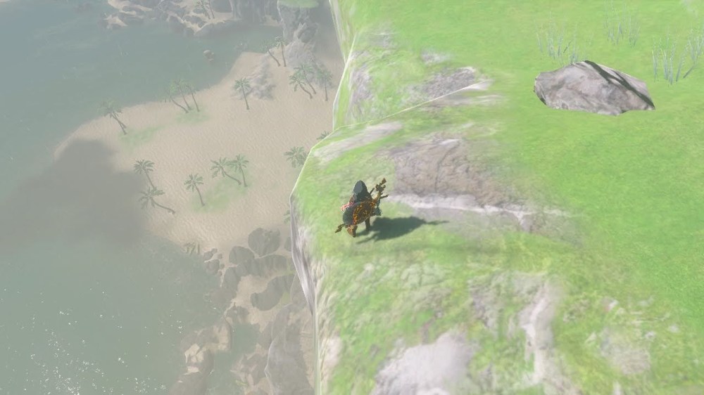
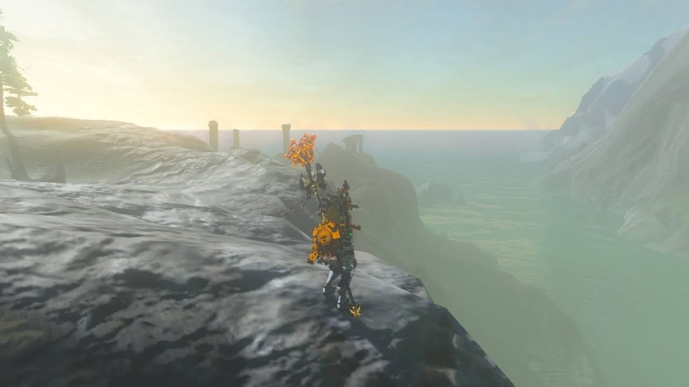
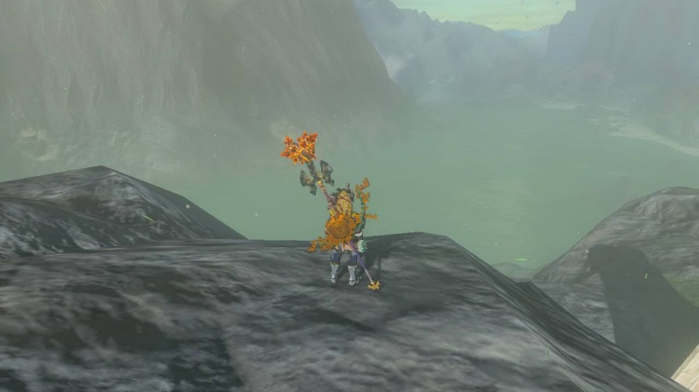
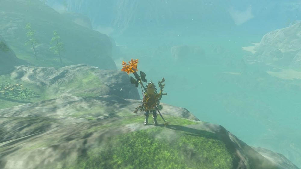
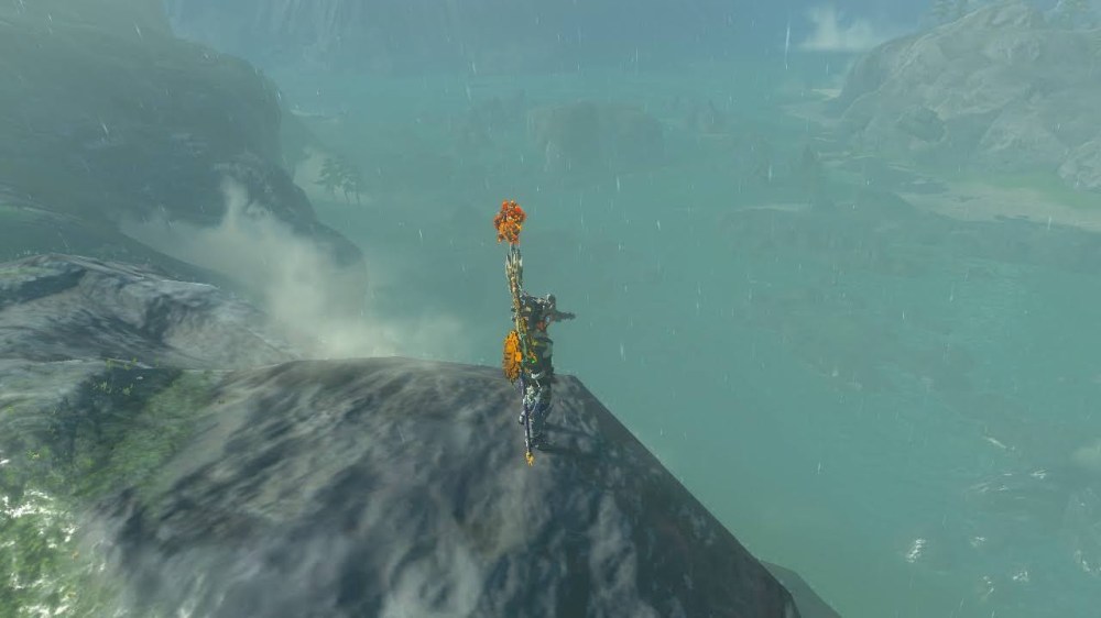
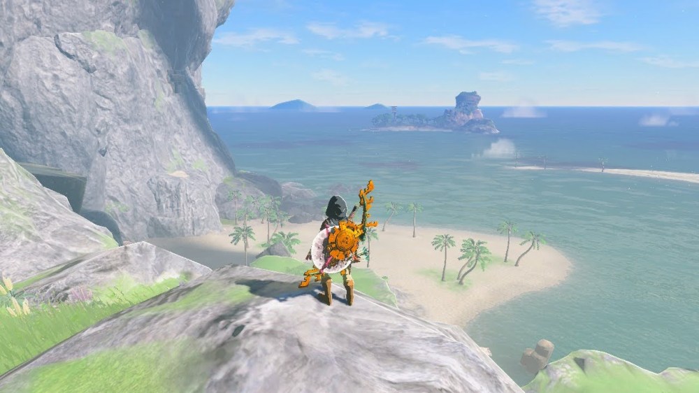
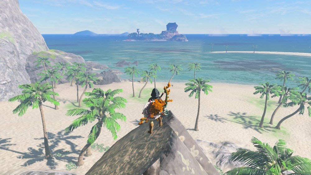
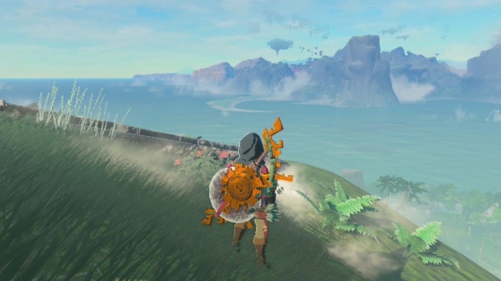
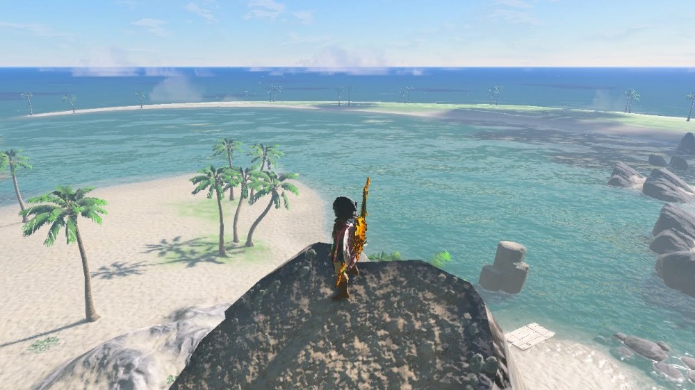
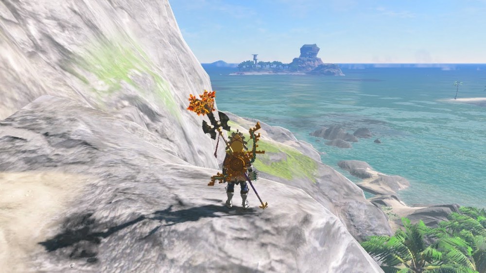
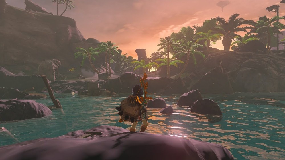
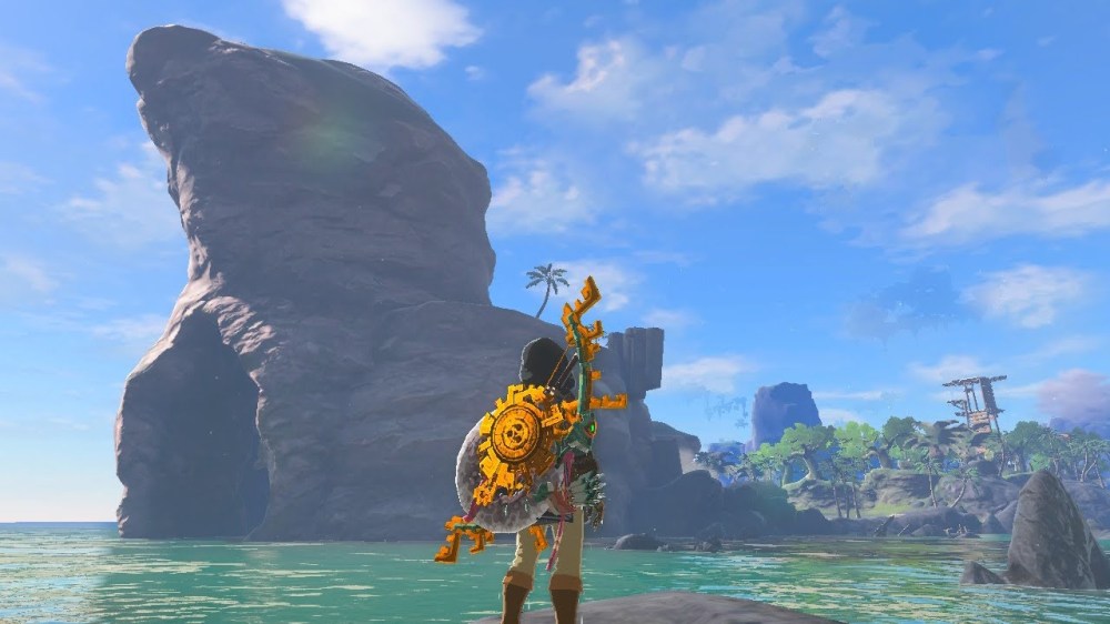
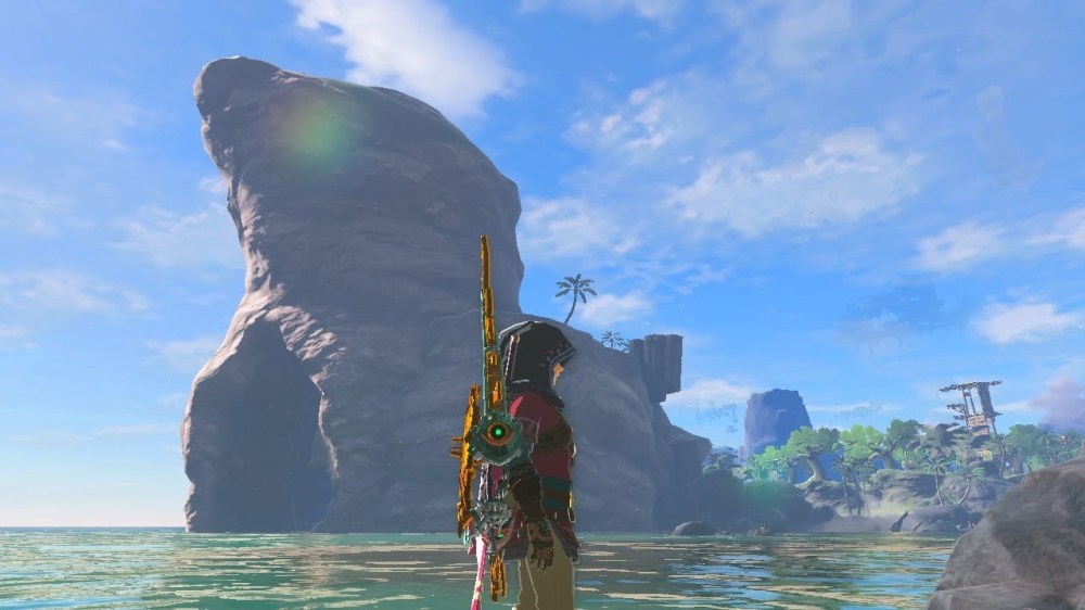
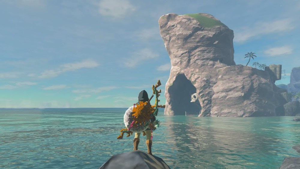
Cape Cales, and its surrounding features, is a classic example of an emergent coast. Rocky shores and high cliffs near the sea as shown in the image to the left are common features of emergent coasts. An emergent coast is created when sea levels fall relative to land level. Shifting tectonic plates underneath the land mass and ocean are the cause of rising and falling sea levels. As the plate underneath Cape Cales and the greater Necluda area shifted upward slowly over time, and the Necluda oceanic plate subducted underneath the continental plate, the ocean fell. Year by year, the energy from descending waves broke down the Necluda land mass. Combine that sedimentation, with the constant wind weathering away the rock and the force of gravity pulling chunks of land downward into the falling ocean and over time you get the unique sea cliffs of Cape Cales. Clearly the continental plate rose at a faster rate than the rate of the ocean eroding the land mass, because we now see a towering rocky mass we call Cape Cales. However, varying amounts of energy to weather and erode the land mass created some unique features in Cape Cales such as sea caves, rocky outcroppings for sea birds to perch and lay their eggs on, and other features we will discuss in greater detail below.

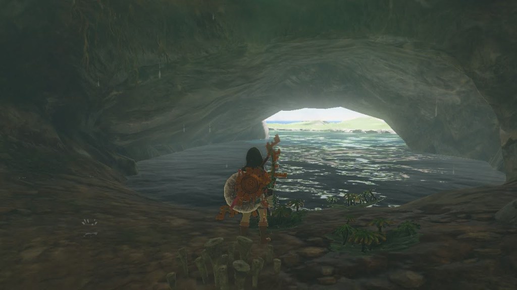
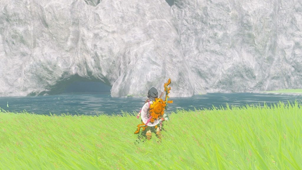
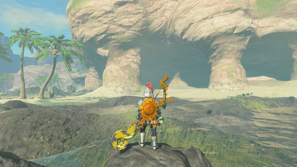
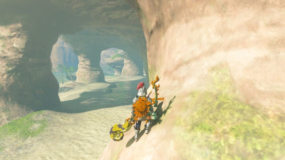
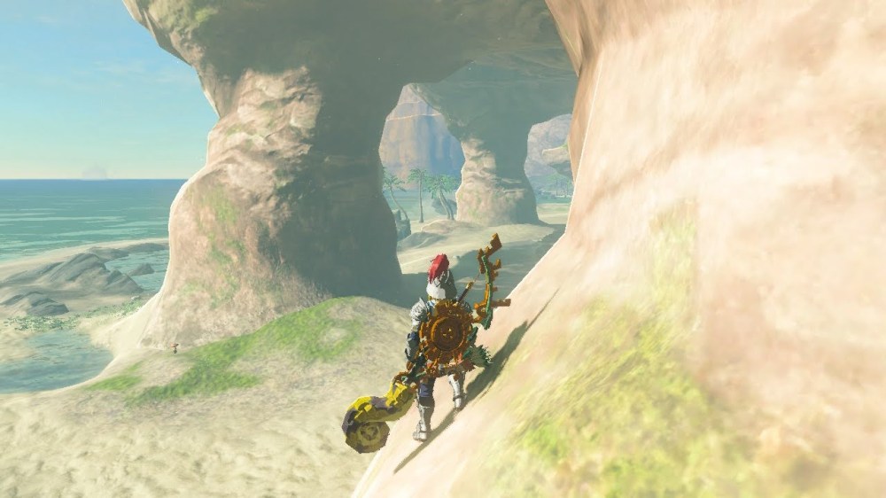
Sea Caves like this one form when water seeps into crevices in the rock from above. The limestone rock found throughout Cape Cales is especially susceptible to chemical weathering from water. The water weakened the rock from within and opened caves within the rock formation. Over time, energy from outside tides was refracted (bent) towards the already weakened limestone and created an opening into the already-formed cave. This particular cave was excavated deeper by ancient peoples as evidenced by the zonai devices found within as well as the unnatural tunnel paths inside the cave.
But what about submergent coasts?
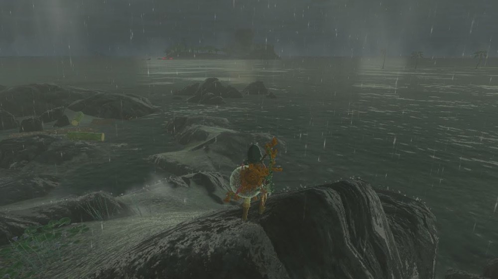
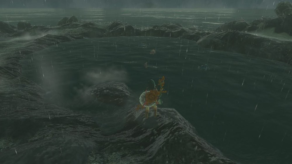
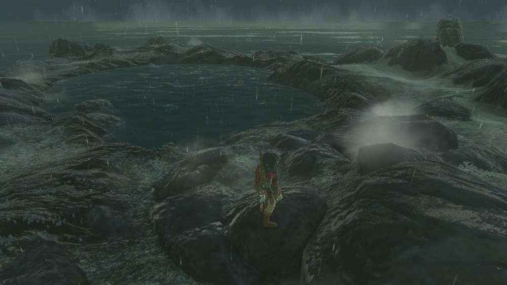
We have seen a great example of emergent coasts from Cape Cales, but what about submergent coasts? Well thankfully there is an example of that in Hyrule as well! The images below are of Lanayru Bay and Horon Lagoon, both of which are features created by rising sea levels relative to the nearby land mass. This time, the plate that is pushing against Mount Lanayru to the north is sinking (or subducting), allowing water from the ocean to push through and form the bay and lagoon seen in these images.
The Beach
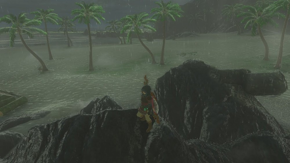
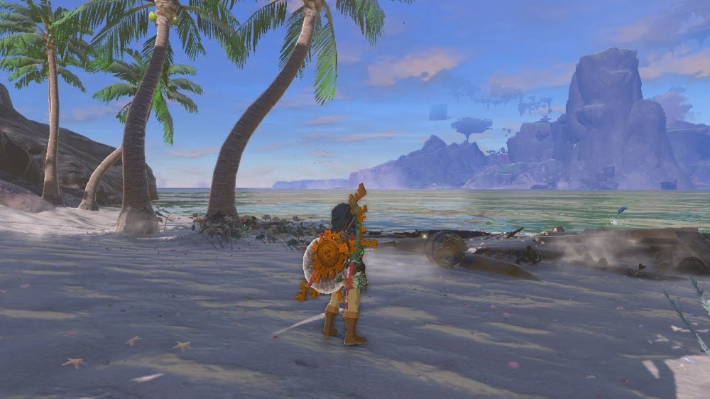
As always, let’s start by having you make some observations. You can make direct observations by following the map below and going directly to the site in your own Zelda: Tears of the Kingdom game. This method is preferred (and more fun). Or you can make indirect observations by clicking through the slideshow of images I have prepared for you below.


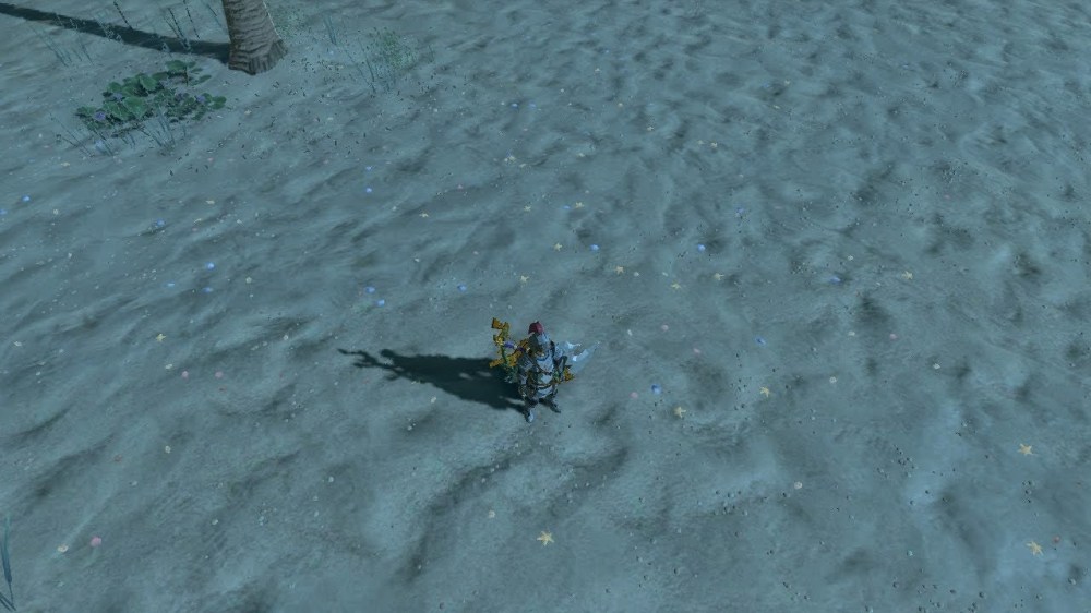
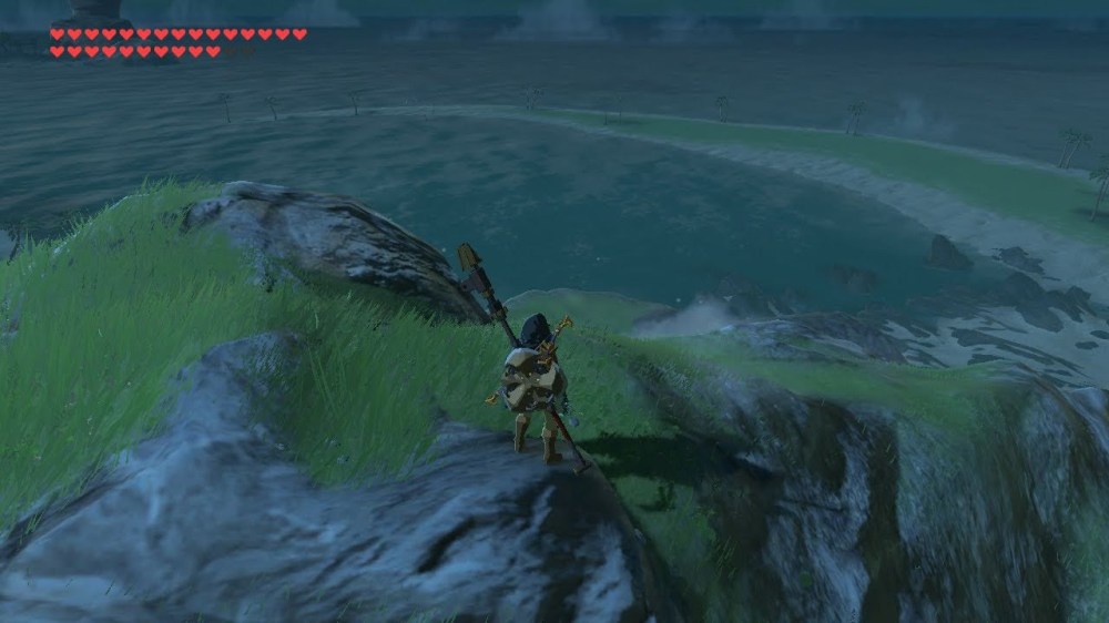
“Sediment” can be as big as a boulder or as tiny as a grain of sand. The difference is the amount of energy that went into forming the sediment. Let’s start with the sandy white beach sediment. The constant input of energy from gravity, oceanic plate movement, as well as wind and weather patterns, all help to create the fine sand sediment seen on beaches. The amount of time the beach has been eroding is evident by the type and shape of sediment we see in the sand. Tides cause sediment from the beach to move cyclically into and out of the water. This constant motion over long periods of time can really wear sediment down. Here on Palmorae beach, we see rounded, white-colored minerals as well as calcium carbonate from shells and other sea creature remains. The fact that this beach has well sorted, rounded sediment tells us it is a very mature beach that has been eroding for a long time. In addition, the whitish mineral is likely quartz sand. Quartz is one of the last minerals to break down due to weathering. That is further evidence that his is a mature beach because all the other colorful minerals found in rock has already been broken down to smaller sediment like silt or clay. The excess of calcium carbonate tells us that there are reefs and a flourishing ocean ecosystem nearby that are being pushed to shore by the tides. Even the ripple marks in the sand tell a story. As the tides move around Eventide Island and head westward at an angle towards Palmorae beach, they reach the shore slightly eschew, creating southwesterly ripple marks. When wave crests bend at an angle, this is called wave refraction. Wave refraction leads to a phenomenon called longshore drift, which is a key process in the formation of Soka Point.
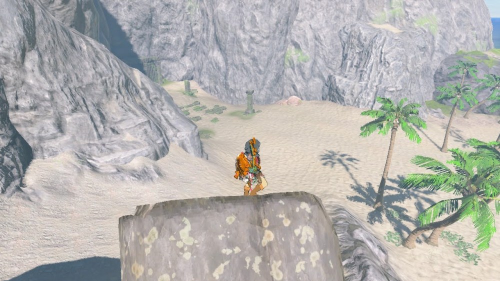
Finally, the chunky gray boulders found on the outskirts of Palmorae beach. These big, angular, poorly sorted sediment clearly have not eroded significantly like the sandy beach sediment. It’s true that the tides approach the beach at an angle and do not hit the boulders head-on, but there is more to this story than just lack of tidal erosion. These immature (recently fallen) boulders match the limestone rock type found at the top of Cape Cales. As physical and chemical erosion break down the parent rock at the top of Cape Cales, gravity delivers the final blow and boulder-sized sediment come crashing down on the shore below.
One final observation to consider from Palmorae beach: trees, grasses, and ancient civilization remains. For trees and grasses to grow on the beach, and for people to live and build so close to the shore, it must be a beach that is shielded by the destructive forces of tides during catastrophic events such as storms or earthquakes. Soka Point and Eventide Island provide the necessary shielding, but more on those features coming up.
The Spit
As always, let’s start by having you make some observations. You can make direct observations by following the map below and going directly to the site in your own Zelda: Tears of the Kingdom game. This method is preferred (and more fun). Or you can make indirect observations by clicking through the slideshow of images I have prepared for you below.


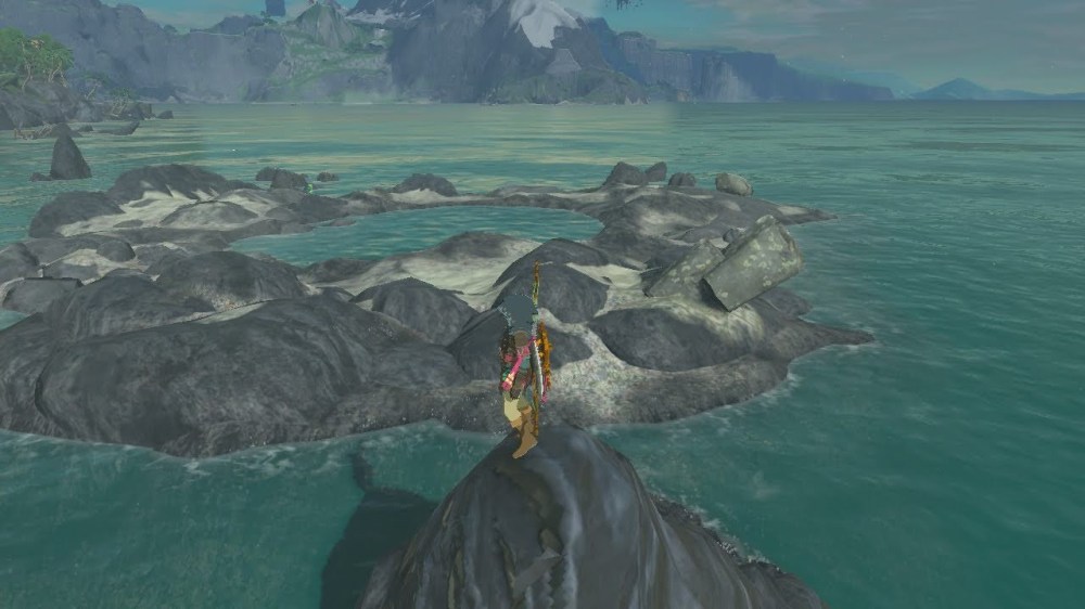
Hopefully you noticed that there aren’t a lot of differences between the sediment seen on the beach and on Soka Point. The processes that formed Soka Point are essentially the same as the ones that formed the beach. The key difference is the movement of energy from the tides. This strange hook of sand is a unique feature called a spit. Soka Point is a spit that continues to grow, forming a baymouth bar which effectively shields the beach from excessively energetic waters. As mentioned earlier, waters hit the beach at an angle, which creates longshore currents (currents that move parallel to the shore) that can carry sediment farther south of the beach. The carrying of this sediment is called longshore drift. As the sediment continues to drift south, it piles up on the bar of sediment south of the beach. Continued longshore drift form the long extended Soka Point hook as sediment gets deposited at a new angle over and over again. You can think of this process as a sort of factory with workers near a conveyor belt of product. Sediment is the product, the waves are the conveyor belts, and the workers are all along the shore ready to collect the sand. The conveyor belt (waves) bring the workers product (sediment) at an angle. Then the workers add more product to the conveyor belt at a different angle. Finally the conveyor belt repeats the process over and over again until there are no more workers to collect product at the end of the spit. As you walk along the baymouth bar, you can see that the ripple marks in the sand match the angle at which sand was deposited and these ripple marks continue to point in the direction of the tip of Soka Point, where no more new sand is deposited. This spit is very recently formed and can really only form thanks to the continuous angular motion of the waves in relatively mild waters. Eventide island is a big contributor to the angular tides and the placid waters.
The Island
As always, let’s start by having you make some observations. You can make direct observations by following the map below and going directly to the site in your own Zelda: Tears of the Kingdom game. This method is preferred (and more fun). Or you can make indirect observations by clicking through the slideshow of images I have prepared for you below.

As far as similarities and differences go between this island and the Cape Cales cliffs and beaches, hopefully you came to the conclusion that there were a lot of similarities and not so many differences. In fact, the large limestone boulders along the island shore and the limestone cliffs on the island is the exact same limestone as those found on Cape Cales and Palmorae beach. At one point in Hyrule’s history, Eventide Island and Cape Cales were connected, one continuous continental slab of rock. Therefore, we call Eventide Island a continental island, as it still sits on the same continental shelf as Cape Cales. But how did it break apart and become separated by an ocean? The answer is simple: plate tectonics. A quick review of plate tectonics-all of Earth’s land masses were once connected but over time the continental plates began shifting and moving apart due to the circular movement of molten material in the Mantle of Earth. The continental plate that Cape Cales and Eventide Island sits upon broke apart as the Necluda oceanic plate moved underneath it (this is called a subduction zone). Pressure created underneath this subduction zone caused Eventide Island to break off of the Cape Cales land mass and drift away as the ocean moved inward from the Neculda oceanic plate.
Storms are common and sometimes fierce on Eventide Island (ironically, given its name ‘Eventide’). Its position out at sea in front of Cape Cales is what makes it an effective shield for Palmorae beach. Though the tall cliff on Eventide Island shields a portion of the island from the major elements, the flora on this island still get battered by highspeed winds occasionally. This can encourage bigger hardier plants as the roots and plant matter will adapt and grow longer and thicker to withstand the elements. Thus the palm trees on the island are actually much bigger than the ones on Palmorae beach. This island enjoys lots of precipitation annually as well as a good climate for the growth and development of many tropical plant and animal species. Got a hankering for some Mighty Bananas or Mighty Thistle? Thankfully they are abundant on this tropical island.
Hidden Treasure
As always, let’s start by having you make some observations. You can make direct observations by following the map below and going directly to the site in your own Zelda: Tears of the Kingdom game. This method is preferred (and more fun). Or you can make indirect observations by clicking through the slideshow of images I have prepared for you below.
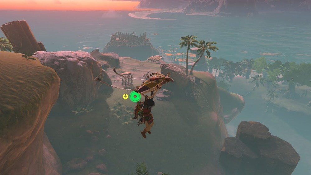
After exploring Eventide Island for awhile, you may encounter some other geological gems. One of which is this pirate sea cave on the southeast side of the island. As ocean water is refracted, it can end up attacking bedrock, putting more energy into one point of the island instead of evenly spaced. From this focused energy, sea arches or sea caves can form. In this case, unseen reefs just below the water surface were refracting the tides and waves into one spot on the back of the island and over time this big sea cave formed as the limestone was weathered and eroded until a big hole formed. Careful when exploring here, a pirate horde will attack you! But valuable treasure and a shrine awaits you here!
A large tide pool can be found east of the island. These form as larger sediment and reef parts accumulate in one spot. This pool has a handful of Might Porgy and Armored Porgy, both of which take advantage of the protection from predators that this secluded tide pool offers.
Well, there you have it, the geological processes that formed Cape Cales and the surrounding area have been revealed. I hope you never look at the beach the same again, hopefully as you feel the sand between your toes you also stop to appreciate all the processes that went into making that sand. Even as you curse under your breath later trying to get the sand out of your shoes, still appreciate just how rounded and well sorted the mature beach sand was. Now what do you say we head over to Lurelin Village just west of here and indulge in a calming salt spa at the local inn? I mined for rock salt back at my Death Mountain home just for this moment! My rock-hard bunions could use a good salt soak right now! Afterward we could test our luck at the Lucky Treasure Shop. A little Rito told me that the owner of that shop has a never-ending craving for Roasted Porgy and lucky for us, I just caught a bunch of Porgy from the tide pool! Maybe we could bribe him to give us more chances to earn some valuable treasure! What are we waiting for?!
The geology found in Zelda Breath of the Wild and Tears of the Kingdom games is based off of geology found in the real world. It’s important to see that amazing geology found in these games can also be found in our own world, sometimes even in our own backyards! Check out some real world examples of the geology we just talked about in this chapter.
Real World Examples
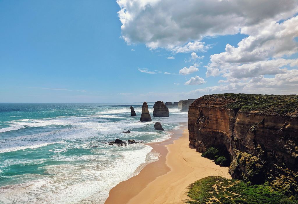
Port Campbell in Victoria Australia is a great real-world example of an emergent coast with very similar limestone rock layers and similar beach sediment composition compared to Cape Cales and Palmorae beach. Here you can even see stacks formed from collapsed sea arches.

Farewell Spit in New Zealand is a great real-world example of a baymouth bar. From this aerial view you can easily see where the longshore drift is depositing sediment on the southern side of the spit.
Test Your Geology Skills!
Now it’s time to test your geology skills and what you have learned from our exploring today. Take a look at the short slideshow below. This is a similar location found near the Faron Sea.
- What observations can you make about the structures focused on in the images? Pay careful attention to shapes, textures, and surrounding features that may play a part in the formation of these structures.
- In a few sentences, describe how these structures were formed. Remember to focus on sedimentary processes and the transfer of energy.
Type me a message below with your answers. I would love to hear your geological insight!
Extra Goodies
Thank you for reading and stay tuned for the next installment of Hyrule Geology Tours. As always, I would love to hear from you! How did you like the read? What did you learn from it that surprised you? What ideas or suggestions do you have for my next post? I would love your feedback! Also, if you happen to have the game The Legend of Zelda: Breath of the Wild or The Legend of Zelda: Tears of the Kingdom at home, I encourage you to go find these geologic features yourself. The names of all geologic features in this post are actual names from the game so go on the virtual tour for yourself and let me know how it goes!

This is absolutely fascinating. The level of detail they put into the geology of this game is astounding, and I’m so glad you’re sharing your knowledge with us!
Do you have any plans to talk about the cave systems, or perhaps an update to Death Mountain now that it’s gone dormant?
LikeLike
Dessa, thank you so much for the message! I am glad you enjoyed the post! It is incredible how detailed the world of Hyrule is in these games, I take a lot of creative liberties when explaining the “geology” of Hyrule, but the geologic features found in the game were all patterned after real world structures.
I do have plans to talk about caves! Death Mountain is a bit awkward since I recently created a post about the geology of Death Mountain in BOTW, but that is one of the only features that changed drastically in the transition to TOTK. I will write about the new Death Mountain, just now sure when and where. The Zelda Geology Tour posts are going to eventually become part of a Geology online course I am creating, but there will likely be bit of content that does not get posted in my blog because it will go straight into the online course instead. BUT… the more people comment on my posts and ask for specific content, the more likely I am to include it in my blog!
Anyways, thanks again! If you have any other suggestions I am all ears!
LikeLike